The Role of Groundwater Surveys in Sustainable Water Management
Introduction
Effective management of water resources is crucial for sustainable development, particularly in regions dependent on groundwater. Groundwater surveys, including geophysical surveys, play a significant role in understanding and managing these vital resources. This article explores the importance of groundwater surveys in sustainable water management, the methodologies used, and their applications.
Understanding Groundwater Surveys
What is a Groundwater Survey?
A groundwater survey is an investigative process aimed at identifying and evaluating groundwater resources. It involves assessing the quantity, quality, and distribution of groundwater in a specific area. This information is crucial for various applications, including water supply planning, agricultural irrigation, and environmental conservation.
Importance of Groundwater Surveys
Groundwater surveys provide essential data that informs sustainable water management practices. They help in:
Identifying Potential Water Sources: Determining the availability and depth of groundwater sources.
Assessing Water Quality: Evaluating the chemical composition of groundwater to ensure it is safe for consumption and use.
Planning Sustainable Extraction: Ensuring that groundwater extraction does not exceed natural recharge rates, preventing depletion.
Key Methodologies in Groundwater Surveys
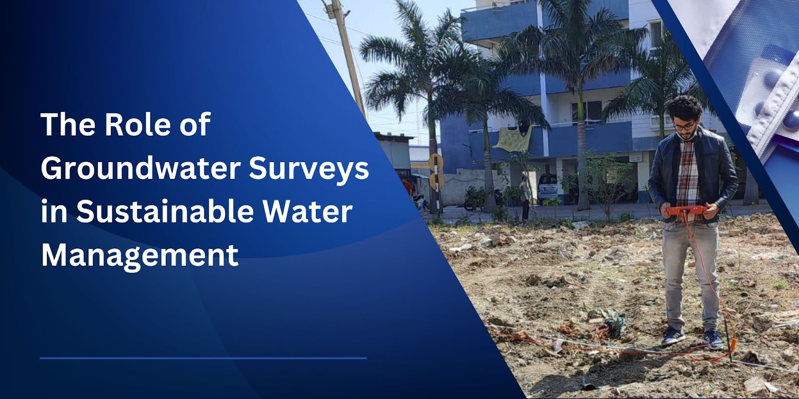
Geophysical Survey
A geophysical survey is a non-invasive technique used to investigate subsurface conditions. In the context of groundwater surveys, it helps in mapping and characterising aquifers. Common geophysical methods include:
Electrical Resistivity: Measures the resistance of soil and rock to electrical current, identifying water-bearing formations.
Seismic Refraction: Uses seismic waves to map subsurface structures and identify aquifers.
Ground Penetrating Radar (GPR): Employs radar pulses to image the subsurface, useful for shallow groundwater investigations.
Hydrogeological Mapping
Hydrogeological mapping involves creating detailed maps that depict the distribution and movement of groundwater. This method combines field data with geological information to understand aquifer characteristics and recharge areas.
Borehole Logging
Borehole logging entails drilling exploratory wells to directly measure groundwater levels, flow rates, and quality. It provides precise data that can validate and supplement geophysical survey results.
Applications of Groundwater Surveys
Borewell Planning and Development
Groundwater surveys are essential for planning and developing borewells. By identifying the most suitable locations and depths for drilling, surveys help ensure the successful extraction of groundwater. Accurate surveys reduce the risk of dry or low-yield wells, saving time and resources.
Agricultural Water Management
In agriculture, groundwater surveys aid in planning efficient irrigation systems. By understanding groundwater availability and quality, farmers can optimise water use, improve crop yields, and reduce the impact on aquifers.
Urban Water Supply
Urban areas rely heavily on groundwater for drinking and industrial purposes. Groundwater surveys enable city planners to develop sustainable water supply systems, ensuring a reliable and safe water source for growing populations.
Environmental Conservation
Groundwater surveys contribute to environmental conservation by monitoring aquifer health and identifying potential contamination sources. This data helps in developing strategies to protect and restore groundwater resources, maintaining ecological balance.
Conclusion
Groundwater surveys are integral to sustainable water management. They provide the necessary data to make informed decisions about water resource development, usage, and conservation. By employing advanced methodologies like geophysical surveys, hydrogeological mapping, and borehole logging, groundwater surveyors ensure that groundwater resources are managed efficiently and sustainably.
How Bhoojal Survey & Recharging Can Help You with Geophysical Survey Services in India
Bhoojal Survey & Recharging offers expert geophysical survey services across India. Our experienced team utilises advanced methodologies to conduct thorough groundwater surveys, providing accurate and reliable data for your projects. Whether you need assistance with borewell planning, agricultural water management, or urban water supply systems, Bhoojal Survey & Recharging ensures comprehensive and sustainable solutions. Partner with us for professional and efficient groundwater survey services tailored to your needs.
FAQs
What is the purpose of a groundwater survey?
A groundwater survey aims to identify and evaluate groundwater resources, assessing their quantity, quality, and distribution to inform sustainable water management practices.
How is a geophysical survey conducted?
A geophysical survey uses non-invasive techniques like electrical resistivity, seismic refraction, and ground penetrating radar to investigate subsurface conditions and identify water-bearing formations.
Why is groundwater survey important for borewell planning?
Groundwater surveys are crucial for borewell planning as they help determine the best locations and depths for drilling, reducing the risk of low-yield or dry wells and ensuring successful groundwater extraction.
Can groundwater surveys help in agriculture?
Yes, groundwater surveys help in agriculture by providing data on groundwater availability and quality, enabling efficient irrigation planning and optimising water use for crop growth.
How do groundwater surveys aid in environmental conservation?
Groundwater surveys aid in environmental conservation by monitoring aquifer health, identifying contamination sources, and helping develop strategies to protect and restore groundwater resources.

Comments
Post a Comment