Posts

Showing posts from May, 2024

Unlocking Soil Secrets: The Importance and Applications of Soil Resistance Testing

Image
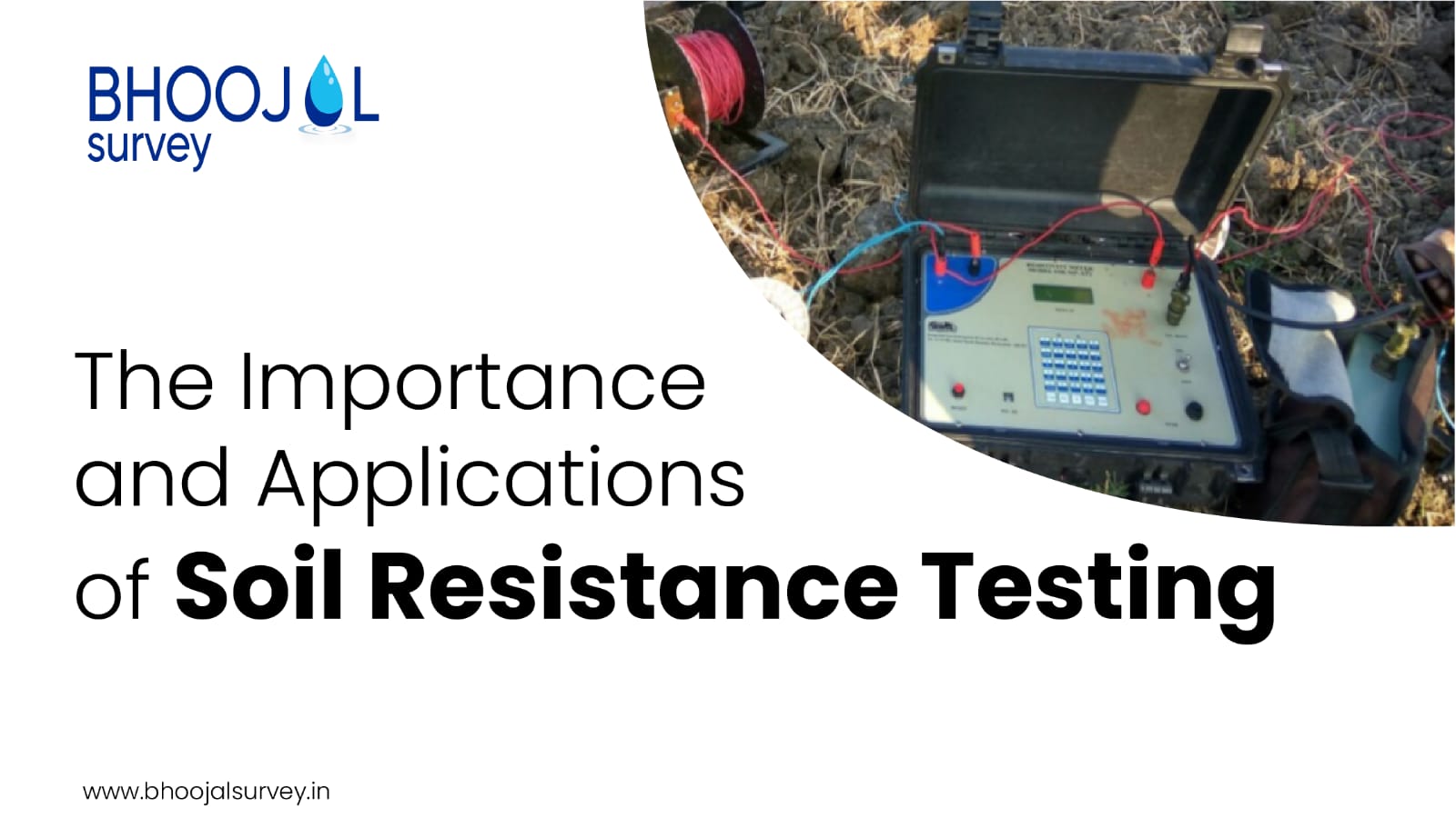
  Introduction Understanding the characteristics of soil is crucial for various engineering and agricultural projects. One of the key aspects of soil analysis is soil resistance testing, also known as soil resistivity testing or earth resistivity testing. This process helps in determining the electrical resistance of the soil, which has significant implications for construction, agriculture, and environmental studies. This article delves into the importance and applications of soil resistance testing, explaining how it is conducted and its benefits across different sectors. Understanding Soil Resistance Testing What is Soil Resistance Testing? Soil resistance testing measures the electrical resistance of the soil, which is a critical factor in the design of earthing systems for electrical installations and the assessment of soil properties for agricultural and environmental purposes. The test involves injecting a current into the ground and measuring the potential difference to ca...

Decoding CGWA NOC: Understanding the Process and Requirements for Groundwater Extraction

Image
  Introduction Groundwater is a crucial resource for various sectors in India, including agriculture, industry, and domestic use. However, the extraction of groundwater needs to be regulated to prevent over-exploitation and ensure sustainable management. The Central Ground Water Authority (CGWA) mandates obtaining a No Objection Certificate (NOC) for groundwater extraction. This article aims to decode the CGWA NOC process, explaining the requirements, application procedure, and essential guidelines to help stakeholders navigate this critical regulatory framework. What is CGWA NOC? Definition and Purpose The CGWA NOC is an official approval required for the extraction of groundwater . The primary purpose of the NOC is to regulate groundwater withdrawal, ensuring that it is done sustainably and in compliance with the guidelines set forth by the Central Ground Water Authority. The CGWA was established under the Environment (Protection) Act, 1986, to regulate and control the developmen...

Unveiling Earth's Secrets: How Satellite Surveys Revolutionize Land Assessment

Image
  Introduction Satellite surveys represent a technological marvel, offering a bird's eye view of our planet's surface like never before. In the realm of land assessment, this innovation has become a game-changer, providing invaluable insights into terrain features, environmental changes, and resource management. Let's delve into how satellite surveys are reshaping the landscape of land assessment and paving the way for sustainable development. Understanding Satellite Surveying Unlocking the Power of Satellite Technology Satellite surveying harnesses the capabilities of orbiting satellites equipped with advanced imaging sensors to capture high-resolution imagery of the Earth's surface. These images are then processed and analyzed to extract valuable information about land features, vegetation, and geological formations. Precision and Accuracy One of the primary advantages of satellite surveying is its ability to deliver precise and accurate data across vast areas of la...

Unlocking the Depths: A Comprehensive Guide to Groundwater Geophysical Surveys

Image
  Introduction Groundwater, often referred to as the hidden treasure beneath our feet, serves as a crucial resource for human consumption, agriculture, and industry. With increasing demands and environmental pressures, the need for efficient and accurate groundwater exploration has become paramount. Enter groundwater geophysical surveys – a sophisticated method that offers insights into subsurface water resources. In this article, we delve into the intricacies of groundwater geophysical surveys , exploring their significance, methodologies, and applications. Understanding Geophysical Surveys Geophysical surveys involve the systematic collection and analysis of data regarding the Earth's subsurface properties. These surveys utilize various physical principles to map geological features and identify potential underground resources, such as water, minerals, or hydrocarbons. Significance of Groundwater Surveys Groundwater surveys play a pivotal role in water resource management by prov...