Posts

Showing posts from April, 2024

Unearthing the Depths: Exploring Techniques Used in Underground Water Detection Services

Image
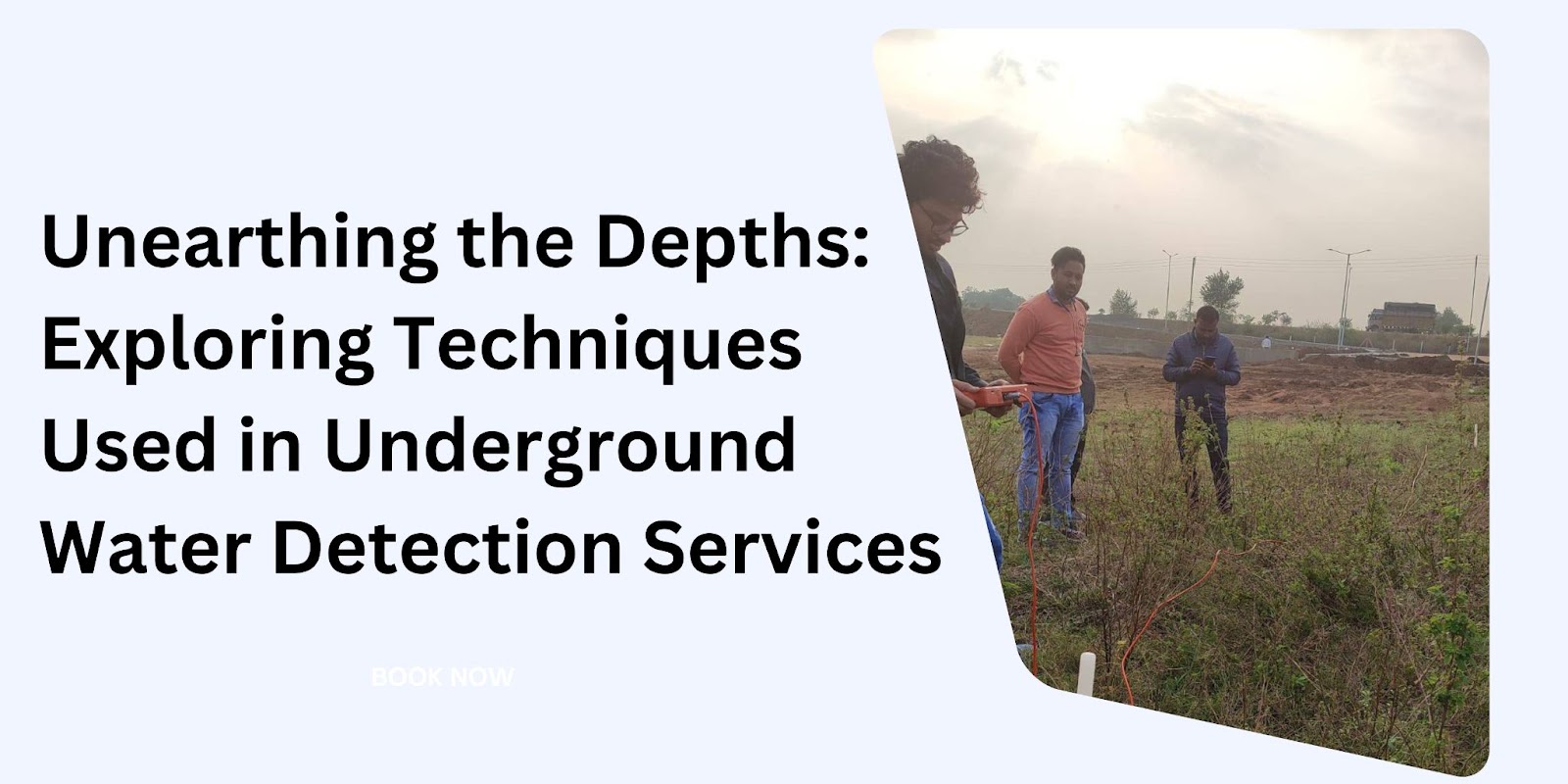
  Introduction: Unraveling the Mysteries Below the Surface Beneath our feet lies a hidden world, a vast network of underground aquifers that sustains life above ground. For those seeking to tap into this invaluable resource, understanding the techniques used in underground water detection services is paramount. From ground water surveys to geophysical assessments , the methods employed are as diverse as the water sources they seek to uncover. In this article, we delve deep into the tools and techniques used by ground water surveyors, shedding light on their importance and efficacy in the quest for water. The Art of Ground Water Surveying: Mapping the Subterranean Landscape Understanding Ground Water Surveys Ground water surveys form the bedrock of underground water detection services, providing a comprehensive overview of the subterranean landscape. Through a combination of geological mapping, hydrological analysis, and geophysical surveys, ground water surveyors identify potential wa

Satellite Surveys vs. Traditional Surveys: A Comparative Study

Image
  Introduction In the realm of land surveying, two methodologies stand out: traditional surveys conducted on the ground and satellite surveys carried out from space. While both approaches aim to gather crucial data about land features and characteristics, they differ significantly in their techniques, applications, and advantages. In this article, we delve into a comparative study of satellite surveys versus traditional surveys, exploring their respective strengths, limitations, and real-world implications. Understanding Satellite Surveys What is Satellite Surveying? Satellite surveying , also known as remote sensing, involves the use of satellites orbiting the Earth to collect data about its surface. These satellites are equipped with advanced sensors, such as cameras and radar systems, capable of capturing detailed images and measurements from above. How Satellite Surveys Work Satellite surveys operate on the principle of remote sensing, where electromagnetic radiation emitted or re